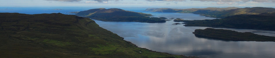
The West Highland Way is a 96 mile walking route stretching from Milngavie in Glasgow to Fort William in the Highlands. In August of 2017 I walked this route, in reverse, starting with a bonus ascent of Ben Nevis.
Here’s a pretty complete summary of that week.
Prep
I had Geo Tracker set up with the West Highland Way gpx route loaded up. The official guide book and map, and the Footprint map too.
I bought various new bits of kit for this trip, the most significant being a new rucksack that properly places most of its weight on my hips. With food but empty water bottles my rucksack weighed about 11Kg when I left home.
You can see an almost complete list of my kit at lighterpack here
Day 0.
Drove up and spent the night at a mate’s in Glasgow ?.
Day 1. 20/8 Fort William to Ben Nevis 15.7km (9.75m)
Left the car and walked to Buchanan Street bus station. The 8:30 to Fort William was running about 30 minutes late and there were quite a few others waiting with rucksacks that I thought might have the same plan as me. Over the 3 hour ride that went via the A82 on the west side of Loch Lomond it dawned on me just how far I’d have to walk to get back. The bus dropped off and picked up other passengers on the way and when it finally reached Fort William, and I didn’t notice anyone else heading for the WHW.
I found the start, actually the end, and set off at 12:20pm
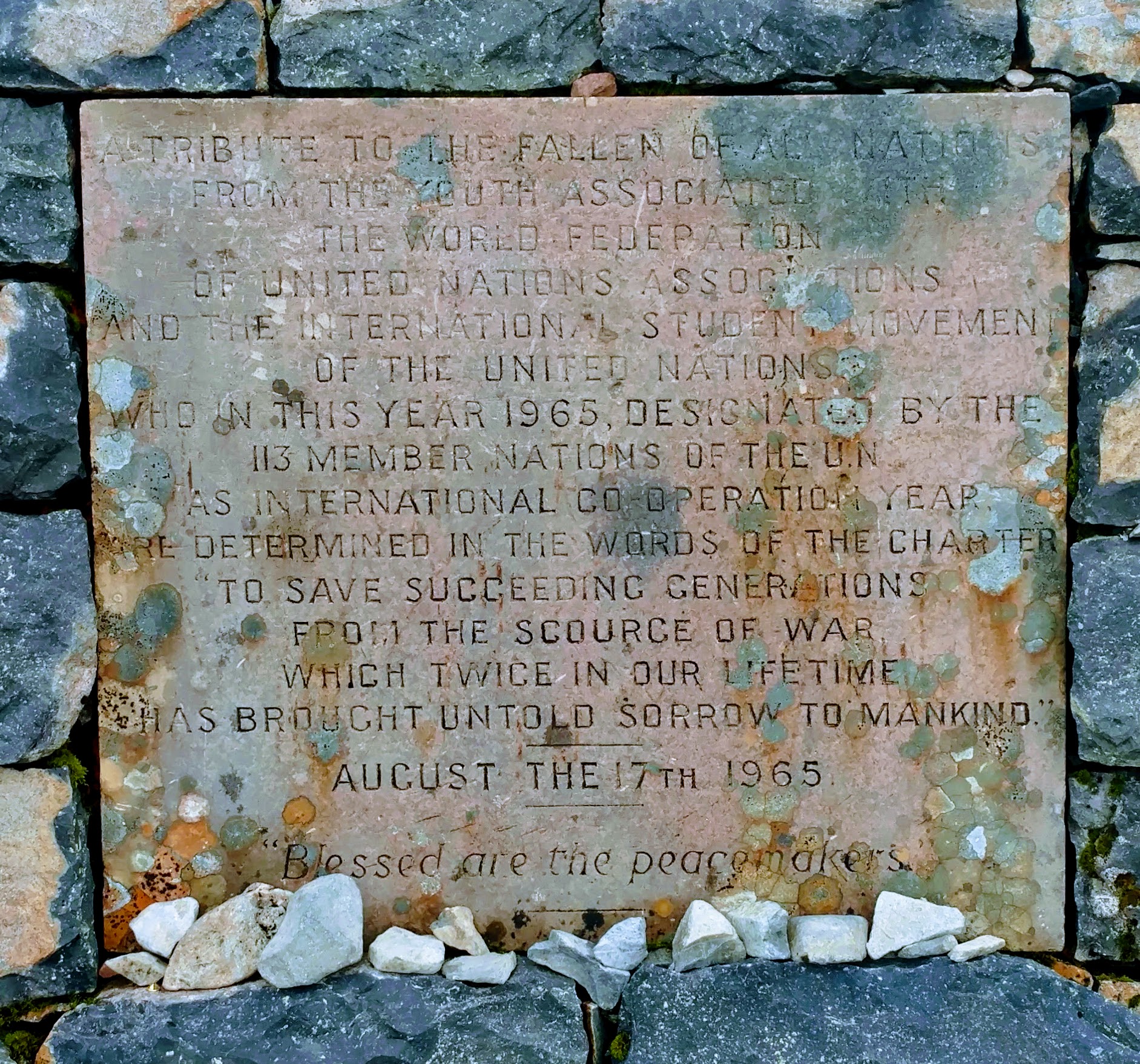
As many people end their WHW trips with an ascent of Ben Nevis, I began mine this way. As the first long walk I’d done wearing a backpack in about a year, I was not in good shape to do this. So I went slow, took plenty of breaks, and drank plenty of water. As everyone else on the mountain passed me, I slowly climbed, finally reaching the summit 5 hours after passing the visitor centre.
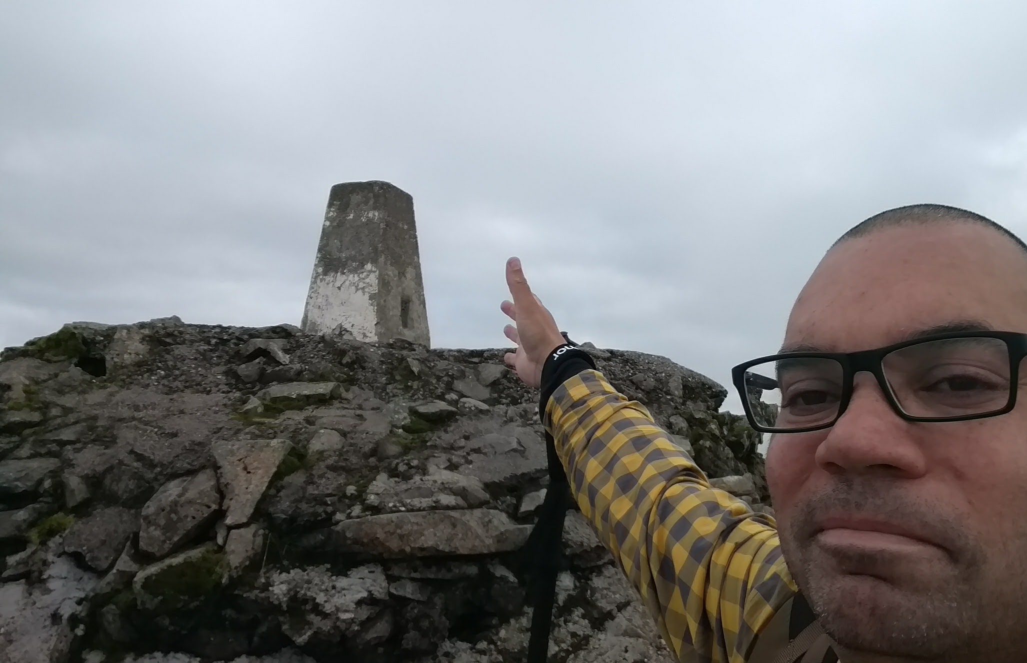
I rested alone at the summit as everyone else had already headed back down, so I was surprised to be joined by another person after a few minutes. A runner, possibly part goat, who just reached the summit in 1 hour 12 minutes. He was shortly followed by another two runners, all training for the Ben Nevis Race taking place on the 2nd of September.
I wished them good fortune and set off back down before them. They soon overtook, of course. My leg muscles were hurting on the way up and lowering myself down was hurting too. The sun was low in the sky and I was going far too slowly to reach the base before dark. So I set up camp on the first semi-level green patch on the descent, at about 700m up, around Red Burn. It was pretty much all rock above there.
I refilled my water bottles from a stream and heated up one of those boil in the bag Wayfarer meals. I was rather impressed with it. It’s a shame they are 300g each. If they did dried versions where you add your own water then that could be perfect.
I slept ok, though I had to be careful not to accidentally roll down the mountain.
Day 2. 21/8 Ben Nevis to Kinlochleven 25km (15.53m)
Some people get up to climb the UK’s largest mountain, pretty early in the morning. I didn’t set off until 9:01am after making coffee and breaking camp and I’d already seen 10 or so people who had already made it up that high. One woman I remember in particular. She worked at the Ben Nevis visitor centre, but hadn’t been able to climb the mountain in quite some time. Fibromyalgia and the pain it caused her had put an end to her previous attempts. But it was early and she was already at Red Burn. “Today’s the day” she said. I hope it was.
I descended the mountain pretty quickly despite having incredibly sore leg muscles that really screamed if I stepped down too far. There were a lot of midges on the mountain that weren’t there the previous day so I didn’t want to stay in any one place for too long. I rejoined the WHW after a couple of hours and didn’t deliberately deviate from it after that.
There was a bit of a climb to do early on, rising from 17m to 300m and then undulating around that height for most of the day. When the walking got hard, I just stopped for 5-10 minutes to recoup. The weather was great all day, if I remember correctly. Around 2pm I found a nice grassy patch beside the trail and stopped for almost an hour. I made mashed potato and veg which I’d brought plenty of in dried form, and it turned out pretty well.
Later, the decent in to Kinlochleven was murder on my legs and I gave up before reaching town and set up camp in the woods just to the north.
Day 3. 22/8 Kinlochleven to Ba Bridge 23.7km (14.73m)
Midges in the woods! Had to properly cover up to make coffee outside and dive back in the tent to drink it. The remaining hot water in the stove was used to pre-soak veg for later. I had a screw top container just for this, so I could put the re-hydrating veg into my backpack for use later in the day. This became a standard morning procedure.
Not sure what time I set off but it was 9 and I was in KinlochLeven itself when I remembered to turn on the GPS tracking. There was a hotel catering for hikers and selling both breakfasts and smidge. I didn’t stop and was soon on the steep climb out of the town.
It climbs to about 550m from the town’s 13m, but it’s a nice easy footpath. The first part of the climb follows along beside the pipes of the old hydroelectric plant. One of which was leaking.
I was low on water and sweating as I climbed so I took water from the stream running under the pipes but it looked rather yellow. I absolutely filtered that before drinking it. Normally I wouldn’t need to, but this may have been coming from that rusty pipe and, more importantly, it looked wrong.
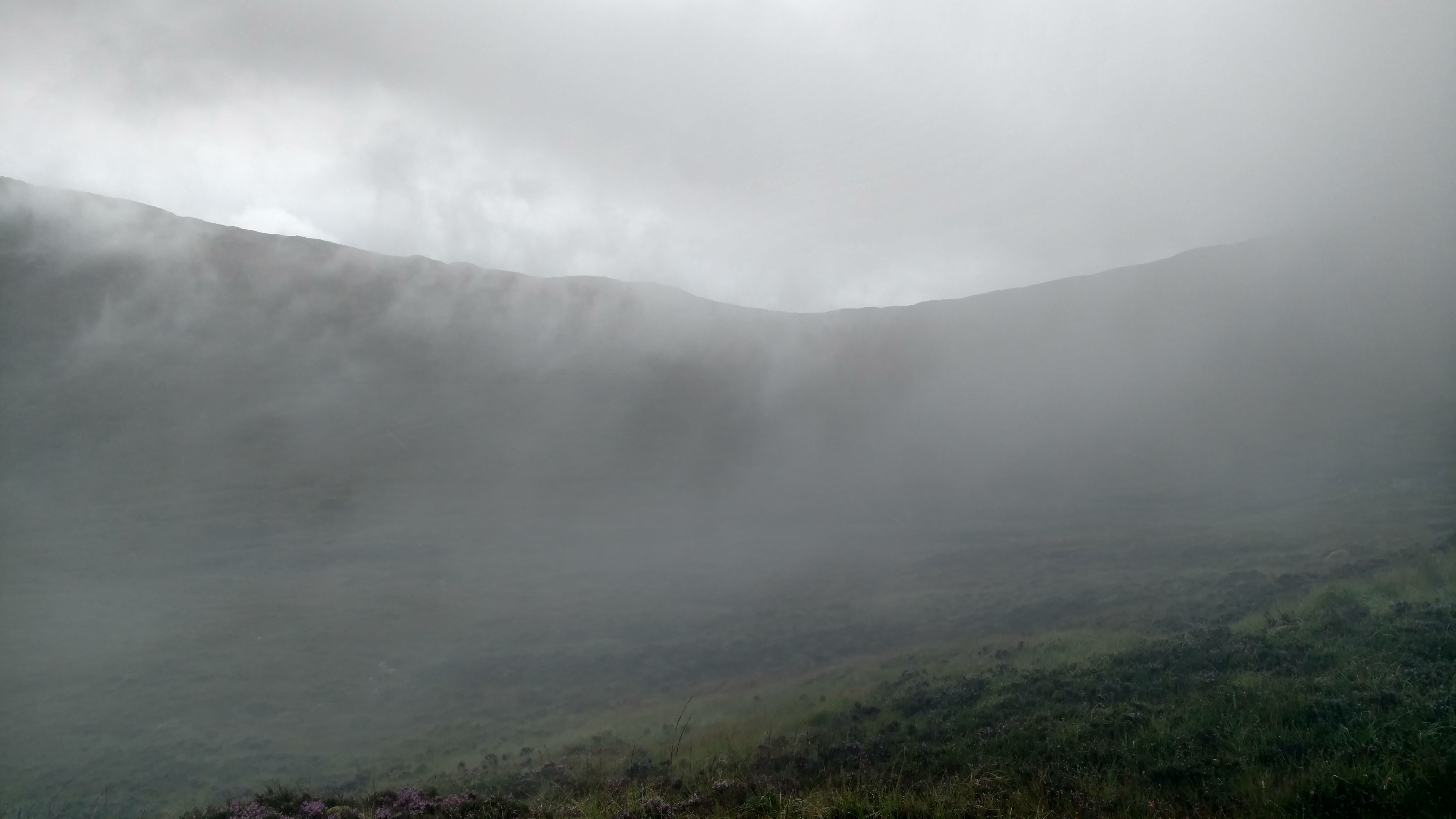
As I climbed it started raining, then after the rain was the mist.
Then eventually I got to the top, and there was a makeshift shop there, selling water and other drinks. This was the top of the Devils Staircase, which from this side would be a nice easy downhill walk if my legs didn’t hurt on every step down.
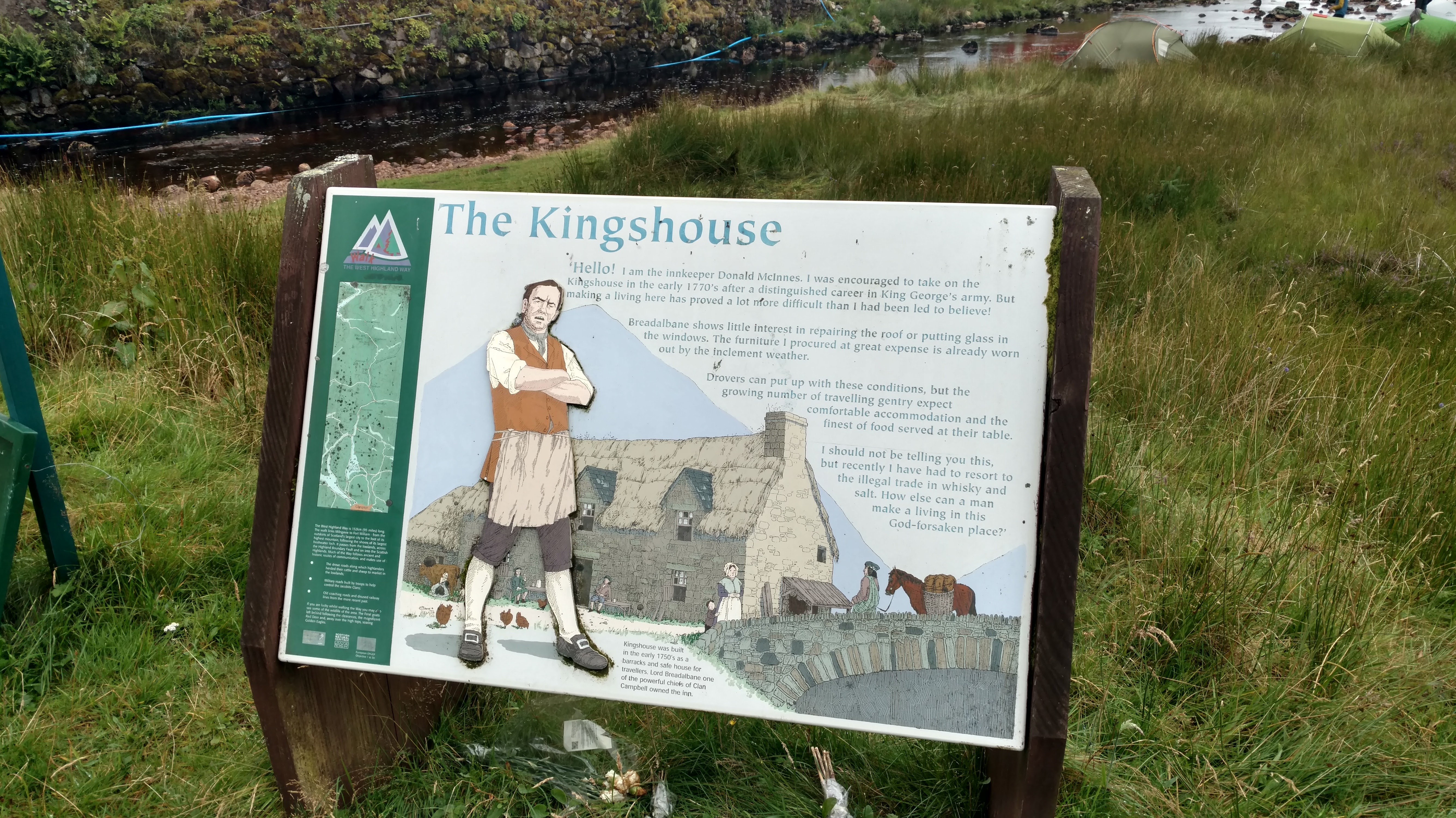
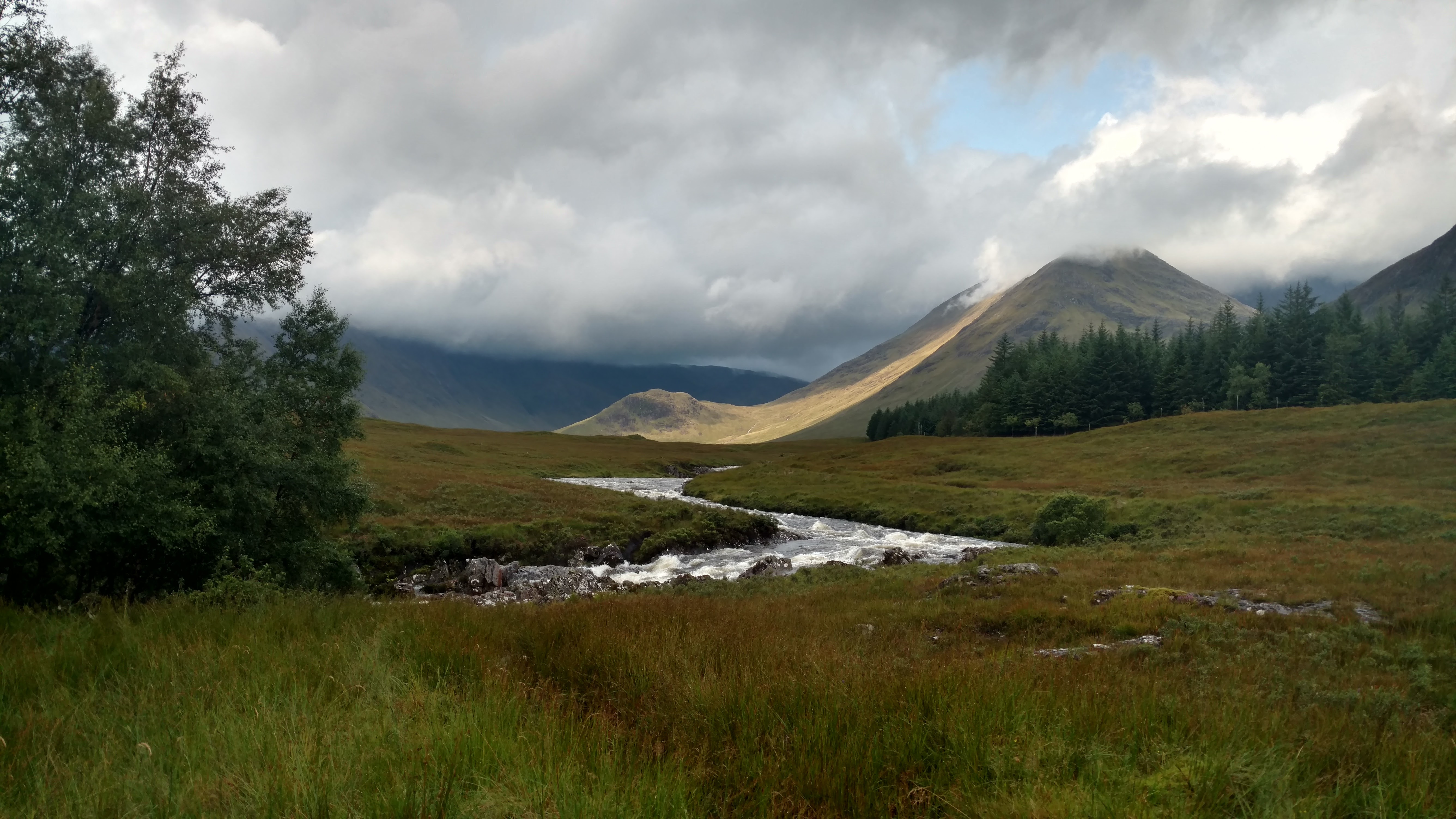
The route was pretty flat after that and 4 miles later I reached the Kings House Hotel. Finally, a pub that’s open! This was a really hiker friendly location. The old hotel is closed for renovation but in their new buildings they have a bar, and bunkhouse, showers and toilets etc. I didn’t stay too long, 2 or 3 pints later I was on my way again.
My legs felt much better after a drink and the next 5 miles went a little quicker. I made camp near Ba Bridge on a flatish green hill and was assaulted by midges as I cooked. It rained all night.
Day 4. 23/8 Ba Bridge to Tyndrum 25.3km (15.72m)
Set off around 9am after the rain had finally stopped, and in the first 100 metres I found two better campsites that even seemed less midgy. I vowed to check at least that far ahead before pitching my tent next time.
I’d remembered I’d packed ibuprofen in my first aid kit and taking a couple seemed to soften the leg muscle pain a bit.
This was a pretty easy day really. There were no major elevation changes; just nice easy, though wet, paths. I walked non-stop bar pub stops at 11:30 at the Invoran Hotel, and 13:30 at Bridge of Orchy, and by 4pm I’d booked myself into the Tyndrum Hotel (£35 for a single without en-suite). This was quite an early finish but Tyndrum seemed like a good place to stop. As well as the hotel there is the Green Welly Stop with everything a hiker might need, and a few other places to stay nearby too.
This was the first evening where I had a good data signal so I watched “What Happened to Monday?” on Netflix, and then spent some time in the bar. Somewhere earlier my shoes had got soaked through, and I didn’t have camp sandals or similar, so I walked around the hotel in socks.
Day 5. 24/8 Tyndrum to Doune Bothy 25.4km (15.78m)
8am start. Shoes were still wet so wore waterproof socks. It rained again, but not too heavily, and Ewich Forest provided some shelter from it. It was pretty much uphill all the way to the Crainlarich corner and at some point I stopped and unzipped the legs off my trousers, cos it gets pretty hot in waterproofs while walking uphill.
This would later turn out to be a mistake, as my unprotected lower legs were not sensitive enough to notice the presence of attacking midges that found them some time later. My legs were annoyingly itchy for days after that.
I didn’t take the path to Crainlarich and stayed on the WHW. The Way follows the A82 for a bit here and along this section I saw the first Honesty Box. A tiny unmanned shop with drinks and snacks at modest prices. Not being a sucker I didn’t buy the water, but took a 50p pack of crisps and left a pound.
Next stop was Beinglas Farm, a very hiker friendly place with a great pub, camping, glamping, laundrette etc. I stopped here for 2 hours, chatting and drinking. Met some nice people, probably drank quite a few.
I’d have spent the night there, but wanted to do a few more miles and finally reach Loch Lomond. I got down to Doune Bothy and had a nose around but opted to camp a half mile south of it at around 6:30pm. I actually did check a short way ahead for a better site than my first option, and found one.
Day 6. 25/8 Doune Bothy to Cashel Campsite 24.9km (15.47m)
This day was the worst. It rained all day non stop. Not sure what time I set off cos I forgot to start recording until I got to Inversnaid.
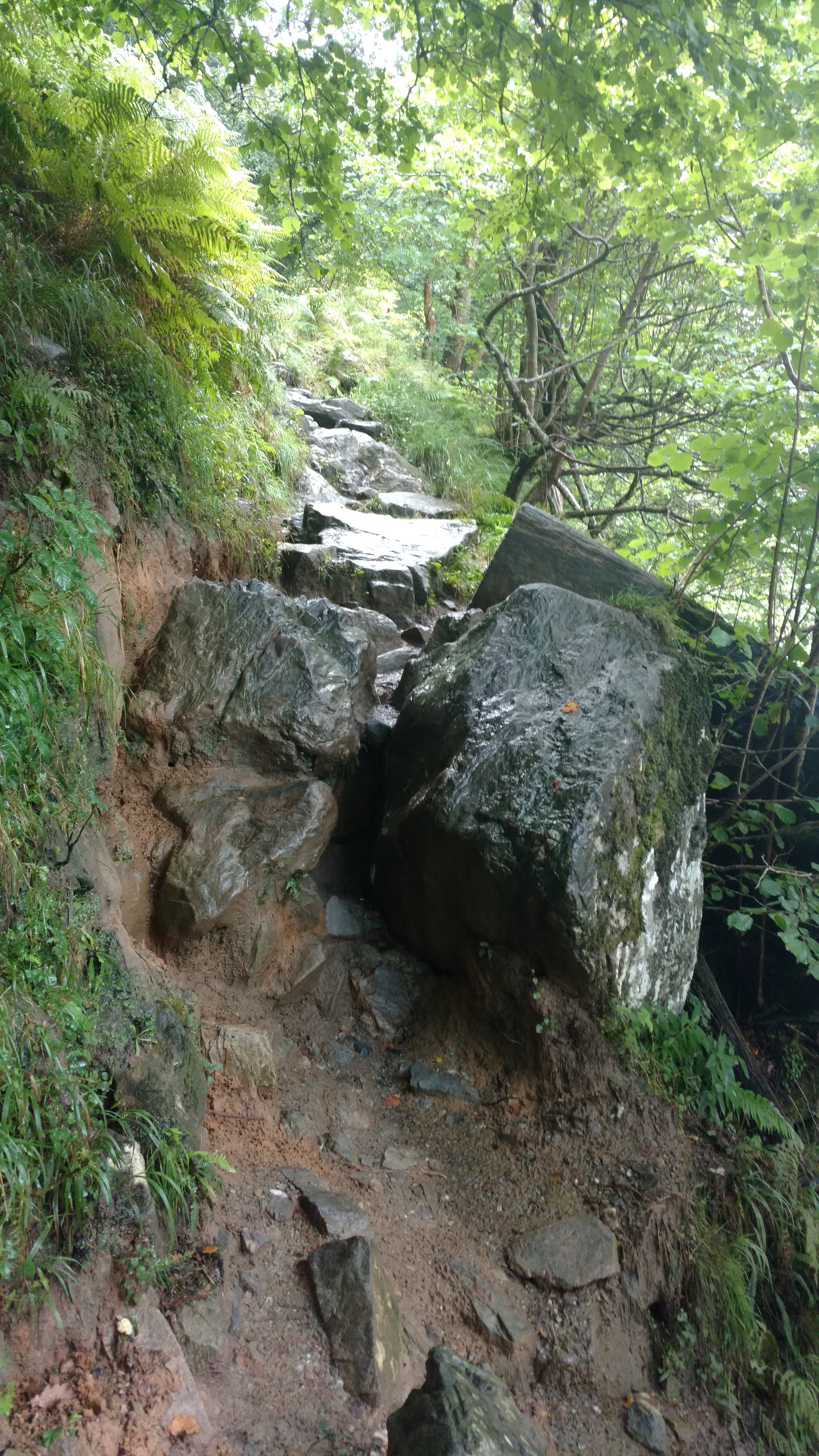
Getting to Inversnaid wasn’t easy either, tough path.
I walked straight past the hotel and kept plodding forward until I reached the famous Rowchoish Bothy. Famous for being a location in the weird sci-fi movie Under the Skin. I stopped there for 10 minutes just to get out of the rain for a bit.
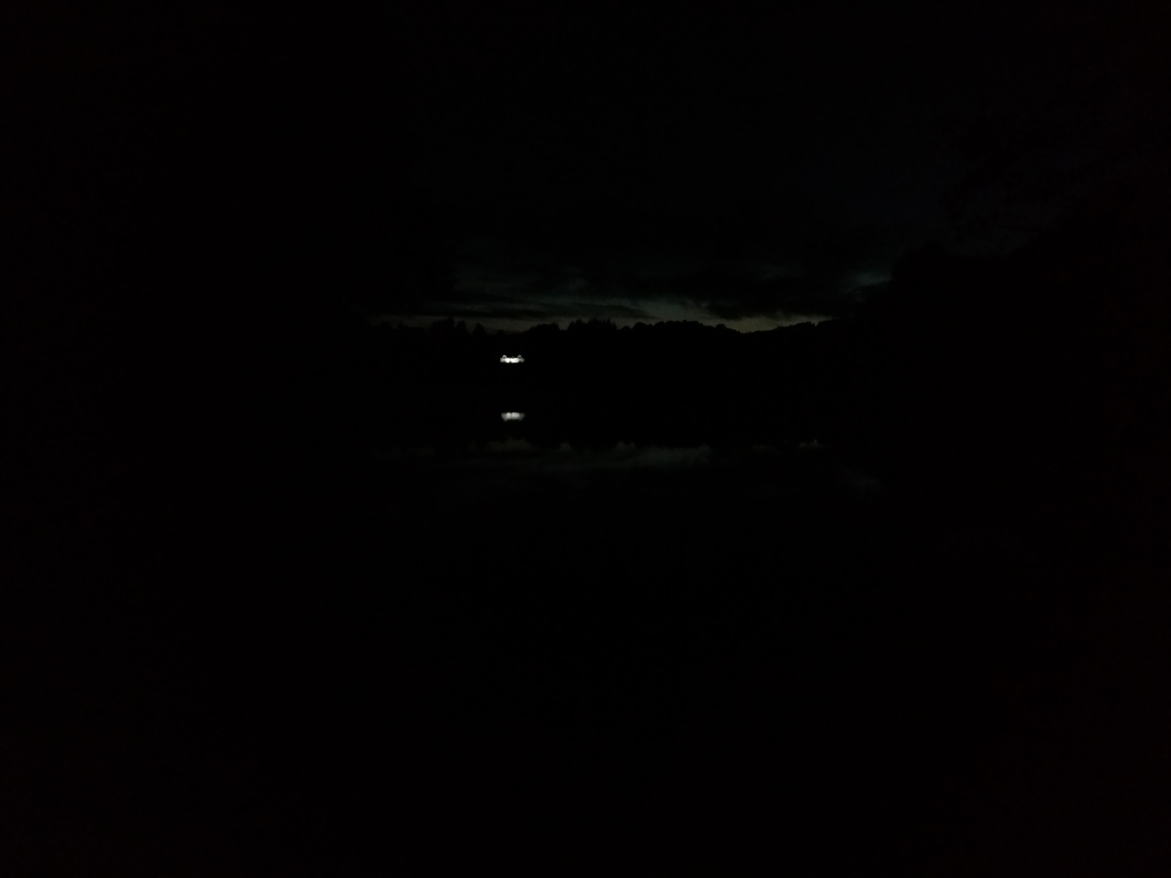
The rain eased off for a bit after this and I took this one picture of a noisy jetski on the loch.
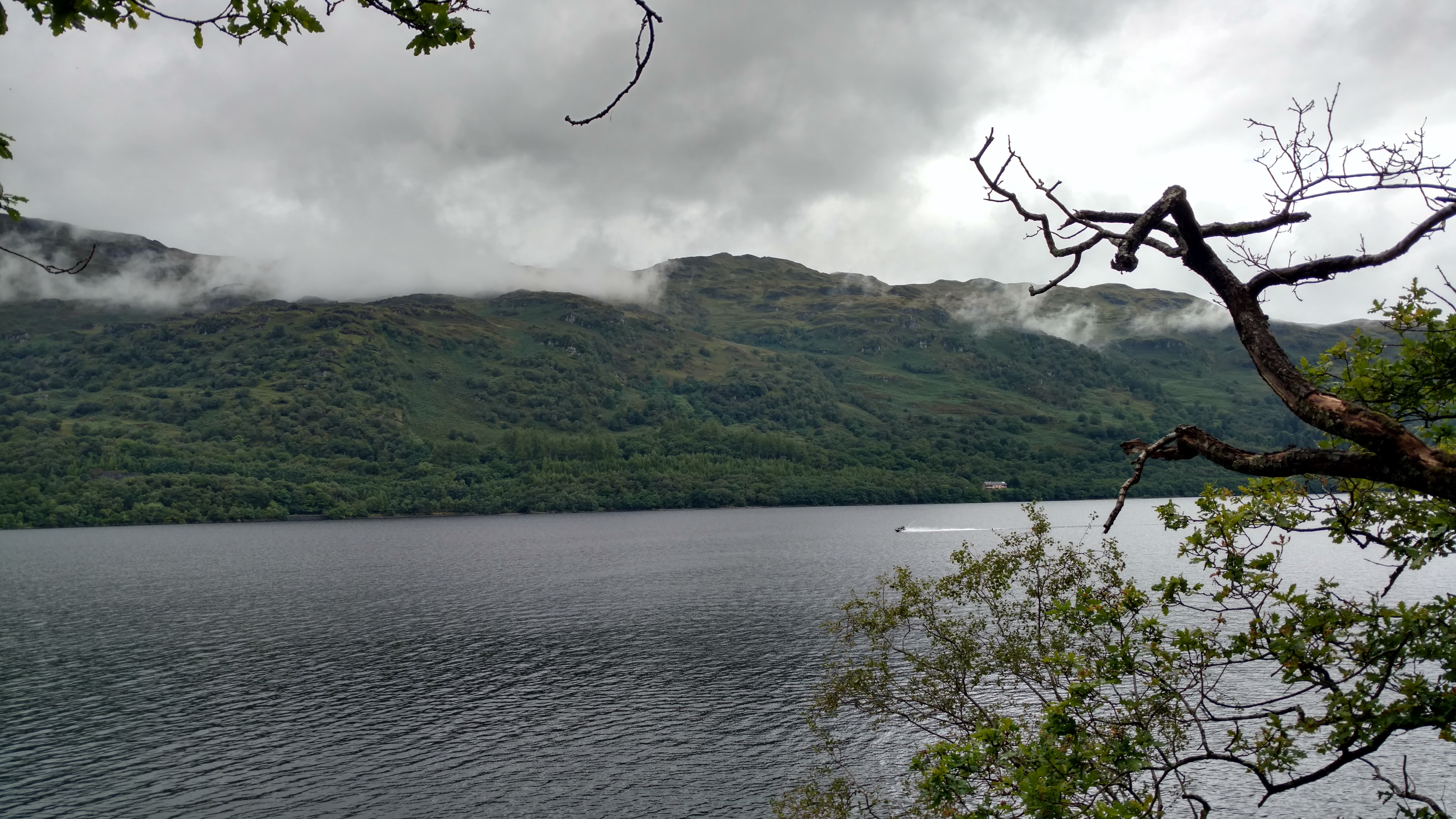
The rain soon returned and my phone went back into its plastic bag.
I continued to walk and continued to get wetter and wetter. The rain skirt did it’s job, I think, but my jacket couldn’t cope at all.
There a 10 mile section along Loch Lomond where wild camping isn’t permitted, and this was that section. I missed a no-facilities camping area that I might have settled for if I’d seen it; I guess it was a little off trail and not signposted because no-one is making money from it. The next option was Sallochy Bay which I didn’t realise was a campsite till I walked through it. Facilities appeared to be limited to the toilets in the car park but you still had to pay. I kept on until Cashel Campsite.
That cost money too, but had far more facilities including a shop with a bakery, and a laundry.
I put up my tent in the rain, climbed into it wet, and eventually managed to split the two man area into a wet side and a dry side. My rucksack was soaked (I’ll get a rain cover for it soon), but most of the contents were in dry bags. I made good use of my towel to dry everything else, myself included.
Only 22 miles to go now.
Day 7. 26/8 Cashel Campsite to Milngavie 38.4km (23.86m)
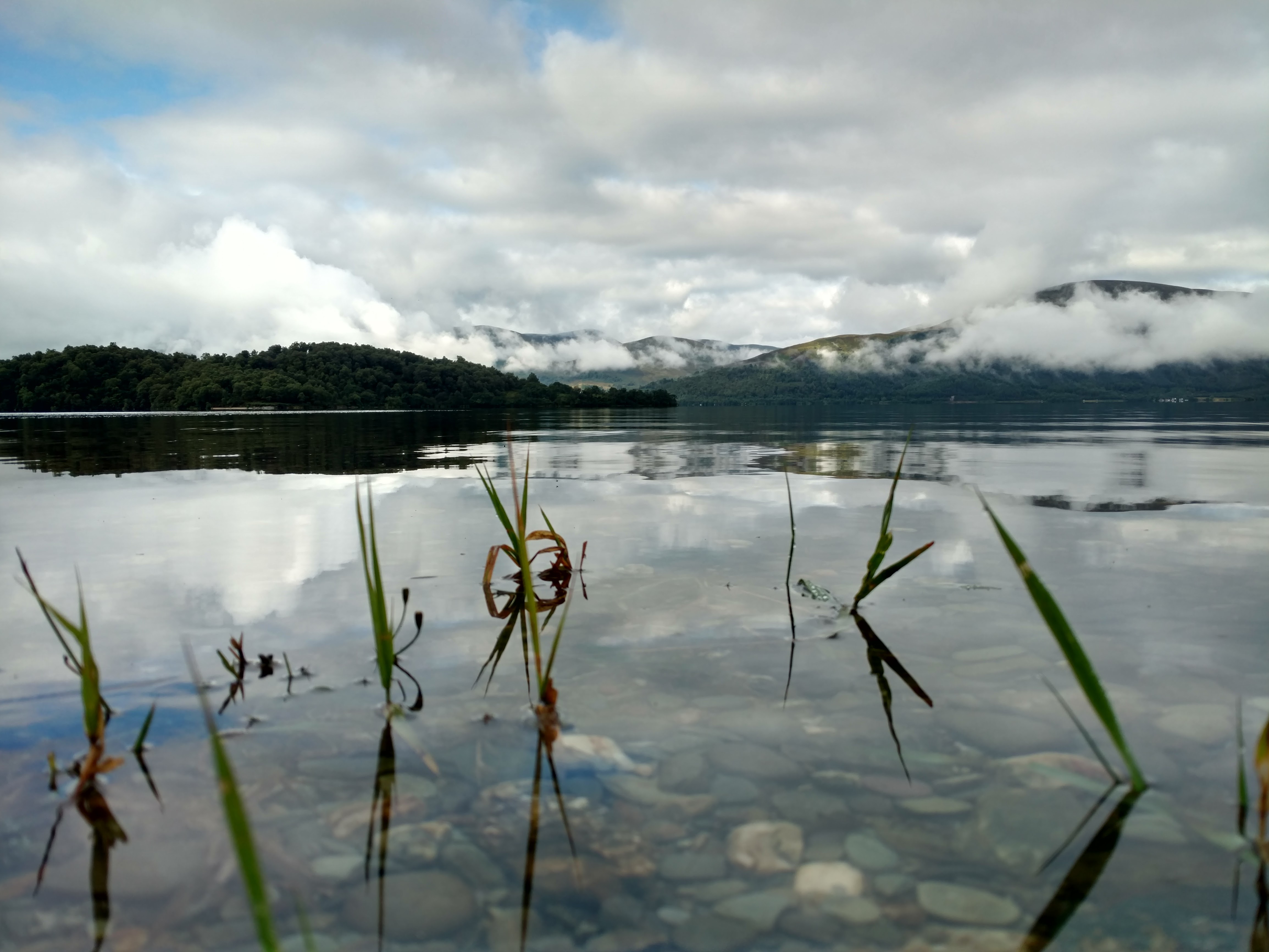
The forecast predicted nice weather for this day, but it was still raining when I awoke. I waited it out and eventually the nice weather came. Here’s a view of the loch from the campsite that morning.
I filled a bag with all my wet or damp clothing, and went to the camp laundry in a pair of dry pants, and jumper, and a rain skirt. Fortunately the dryer was not in use and for £1.50 I got 30 minutes use. I’d not actually used a tumble dryer in years and was somewhat surprised how much that machine could dry in that time. My waterproof socks that had got wet both inside and out; were dried, flipped inside out and dried again and while doing that I slowly got redressed in my hiking gear as each piece dried out.
Decamping was a slower process that morning as I was in no rush. I had two days to do 22 miles. I took the time to carefully fold my tent keeping the muddy underside from touching the upper. Normally I’d just shove it in its bag.
I left the campsite at about 10:40, and a few miles later I was in Balmaha at the foot of Conic hill. Actually, before Conic Hill, in Balmaha there was a pub. I sat outside and drank a couple of pints and a shot of whiskey while slowly rotating my rucksack to dry all sides in the sunshine.
Then it was time for Conic Hill. The climb is quite steep from the Balhama side but it was an easy path. I managed almost to keep up with the flow of tourists who were also going up. Near the top the path forks, either to continue on the WHW or to go to the summit. I went up for a look.
6 miles later at 17:40 I had a decision to make. Camp for £5 at mile 11’s Drumquhassle Farm or keep walking and make the most of the lovely weather. This section was on the road and as I approached the city I expected to see fewer potential wild camping spots. I kept walking, and 40 minutes later I sent word to my friend that I’d be returning to Glasgow that evening.
I had about 10 miles to go at that point, but I knew I’d rest at the pub in 3 miles. It’s a nice little pub, The Beech Tree, they’ve animals including a horse, and they make things out of wood. Worth a look if you’re in the Dumgoyne area.
It was almost dark when I left and soon it was completely so.
I walked the final 7 miles non stop. I didn’t stop to chat when I saw two other hikers near Carbeth (mile 4) heading the opposite way, nor did I stop for the guy hanging around in Mugdock Country Park who ran up from out of nowhere, attracted by my light.
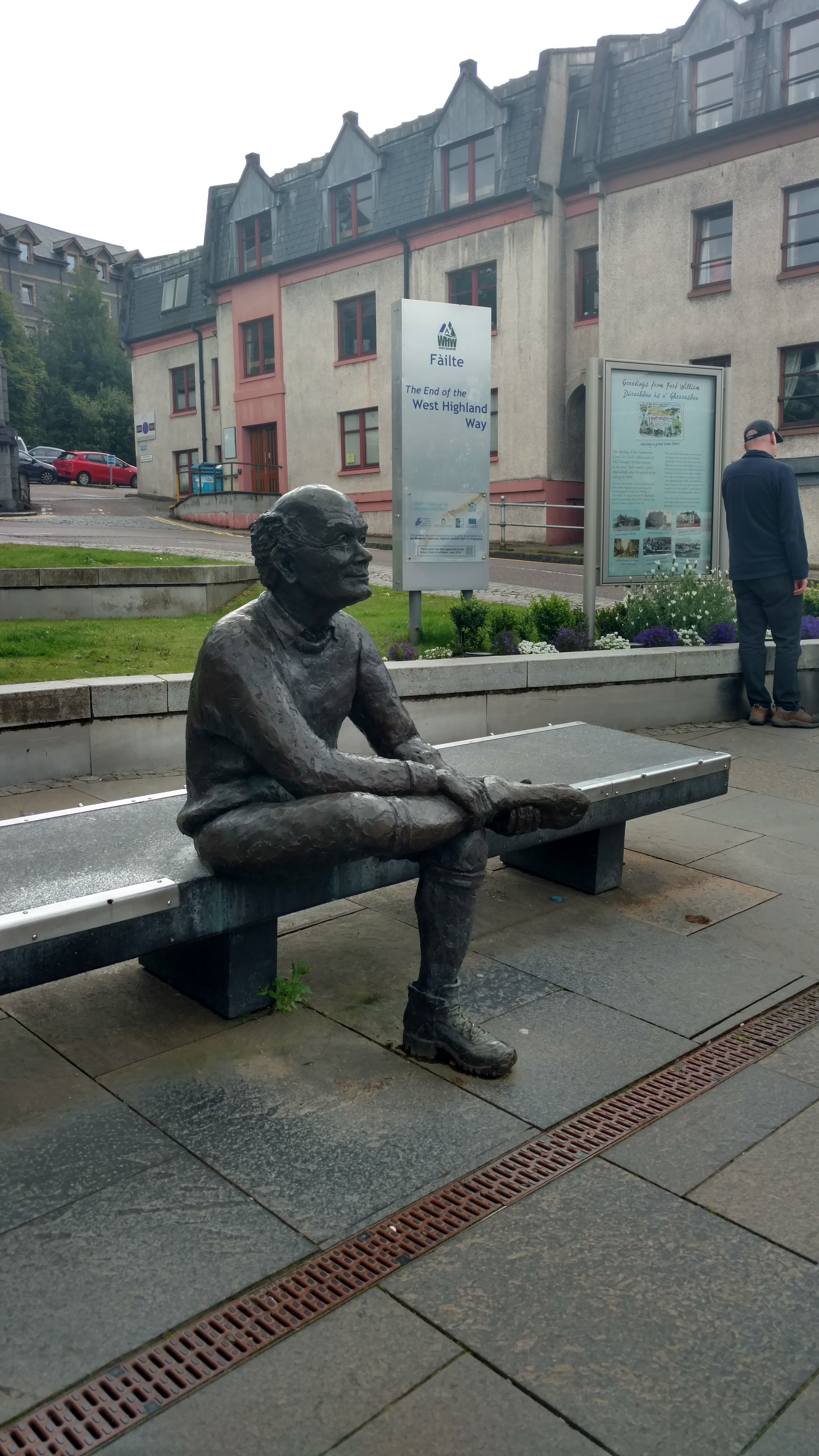
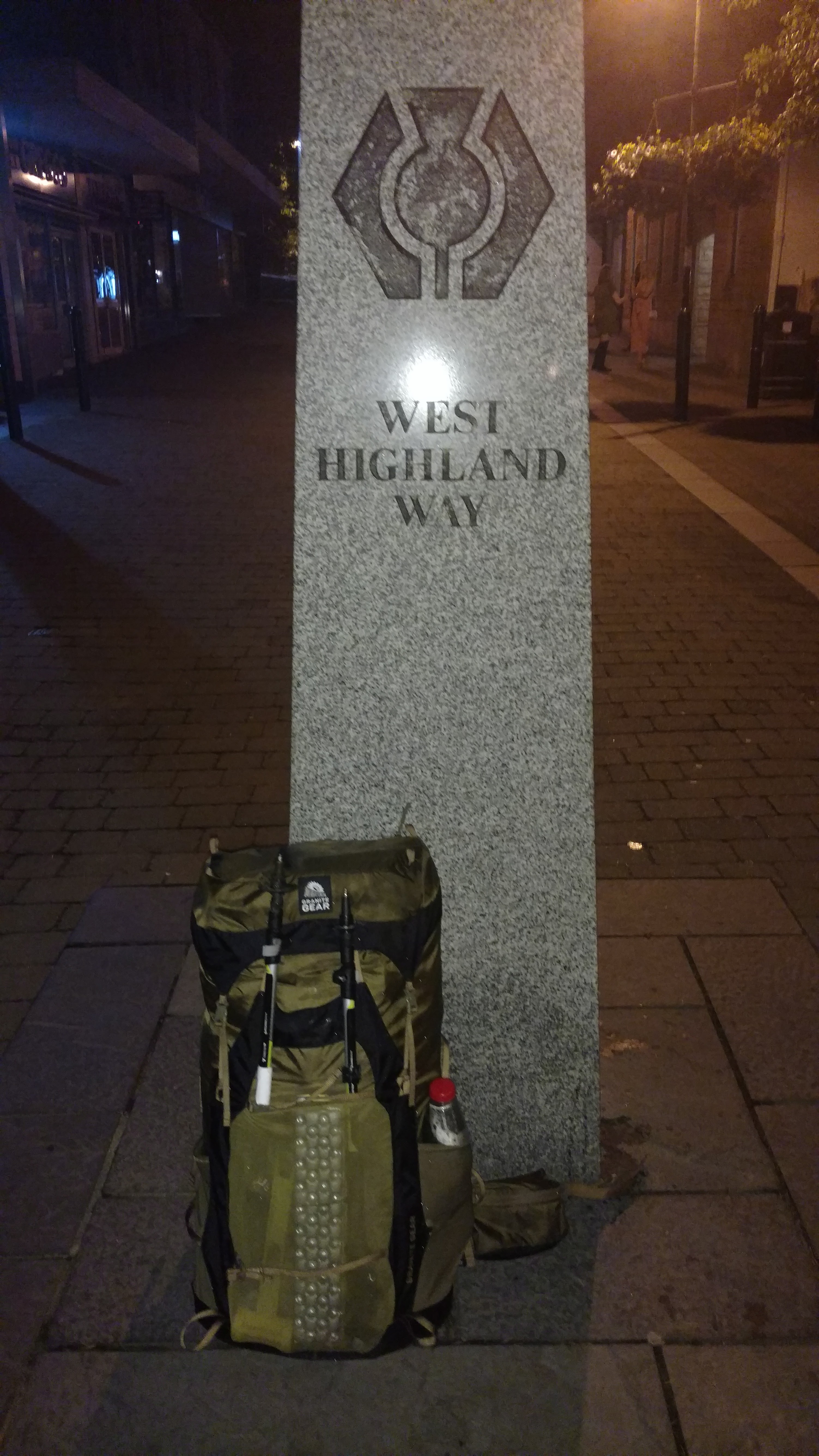
Finally I got out of the woods and into Milngavie, which seems like quite the party town on a Saturday night, and eventually found the end/beginning marker.
I asked one of the revellers where I could get a taxi, and that was the end of all that.